
 Алгебра
 Английский
 Биология
 География
 Геометрия
 История
 Русский
 Обществознание
 Физика
 Химия
Химия Информатика
 Литература
 Математика
Вопрос:
Map of the United States - Geographic Data Extraction
Ответ:
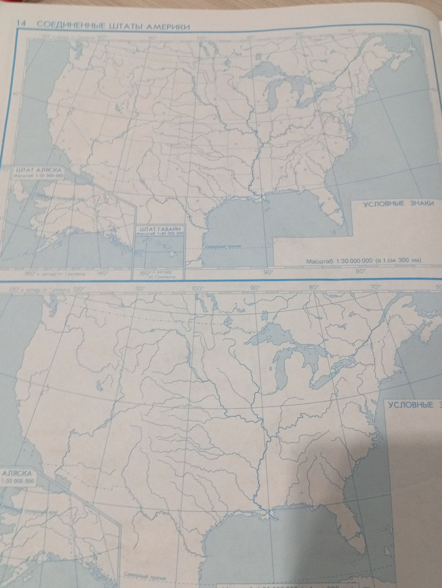
1. Title of the Map:
СОЕДИНЕННЫЕ ШТАТЫ АМЕРИКИ
2. Insets and Their Scales:
- ШТАТ АЛЯСКА: Масштаб 1:50 000 000
- ШТАТ ГАВАЙИ: Масштаб 1:40 000 000
3. Main Map Scale:
Масштаб 1:30 000 000 (в 1 см 300 км)
4. Prime Meridian and Equator/Tropics Indication:
- Longitudinal lines are marked with degrees west of Greenwich (e.g., 160°, 140°, 130°, 120°, 110°, 100°, 90°, 80°, 70°, 60°).
- Latitudinal lines are implied by the grid and labeled on the left side of the top map (e.g., 40°).
- The indication Северный тропик (Northern Tropic) is present on both maps.
5. Key or Legend:
There is a section labeled УСЛОВНЫЕ ЗНАКИ (Conventional Signs), but its content is not visible in the provided image.
6. Geographic Features Depicted:
The maps show the outline of North America, including the contiguous United States, Alaska, Canada, Mexico, and parts of Central America. Major river systems and the Great Lakes are clearly visible. Coastal outlines and islands are also depicted.
