
 Алгебра
 Английский
 Биология
 География
 Геометрия
 История
 Русский
 Обществознание
 Физика
 Химия
Химия Информатика
 Литература
 Математика
Вопрос:
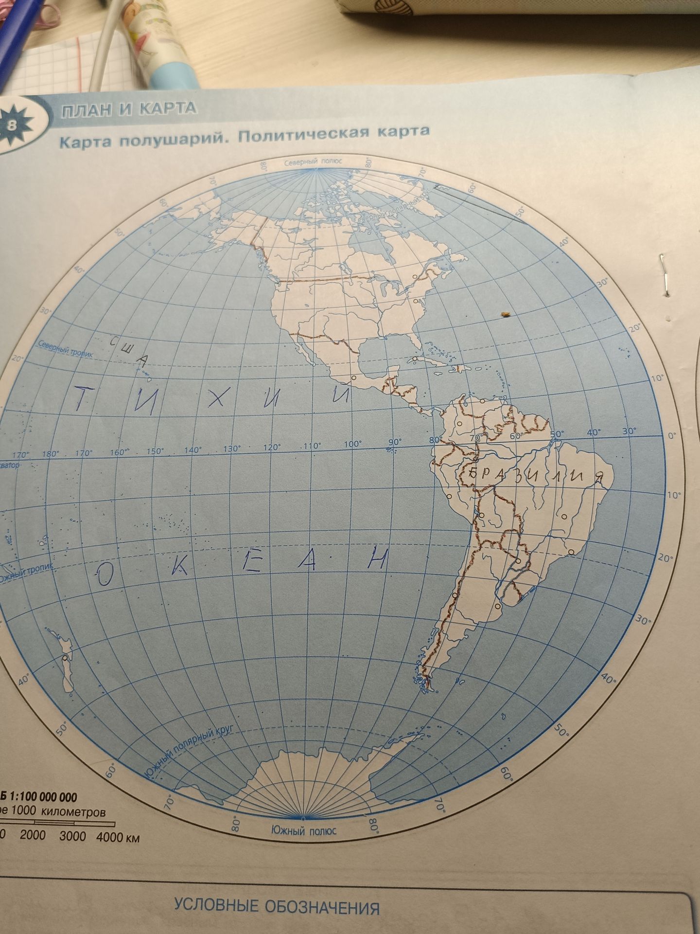
The question is asking to identify the geographical features and locations labeled on the political map. The labels visible are: - План и карта - Карта полушарий. Политическая карта - Северный полюс - США - Тихий океан - Экватор - Южный тропик - Бразилия - Южный полярный круг - Южный полюс - Scale: 1:100 000 000 - Scale bar: 1000 kilometers - Numbers along the bottom: 0, 2000, 3000, 4000 km - Условные обозначения
Ответ:
Анализ карты:
На карте обозначены следующие географические объекты и понятия:
- Северный полюс
- США (Соединённые Штаты Америки)
- Тихий океан
- Экватор
- Южный тропик
- Бразилия
- Южный полярный круг
- Южный полюс
Также на карте указан масштаб 1:100 000 000 и шкала расстояний в 1000 километров.
